


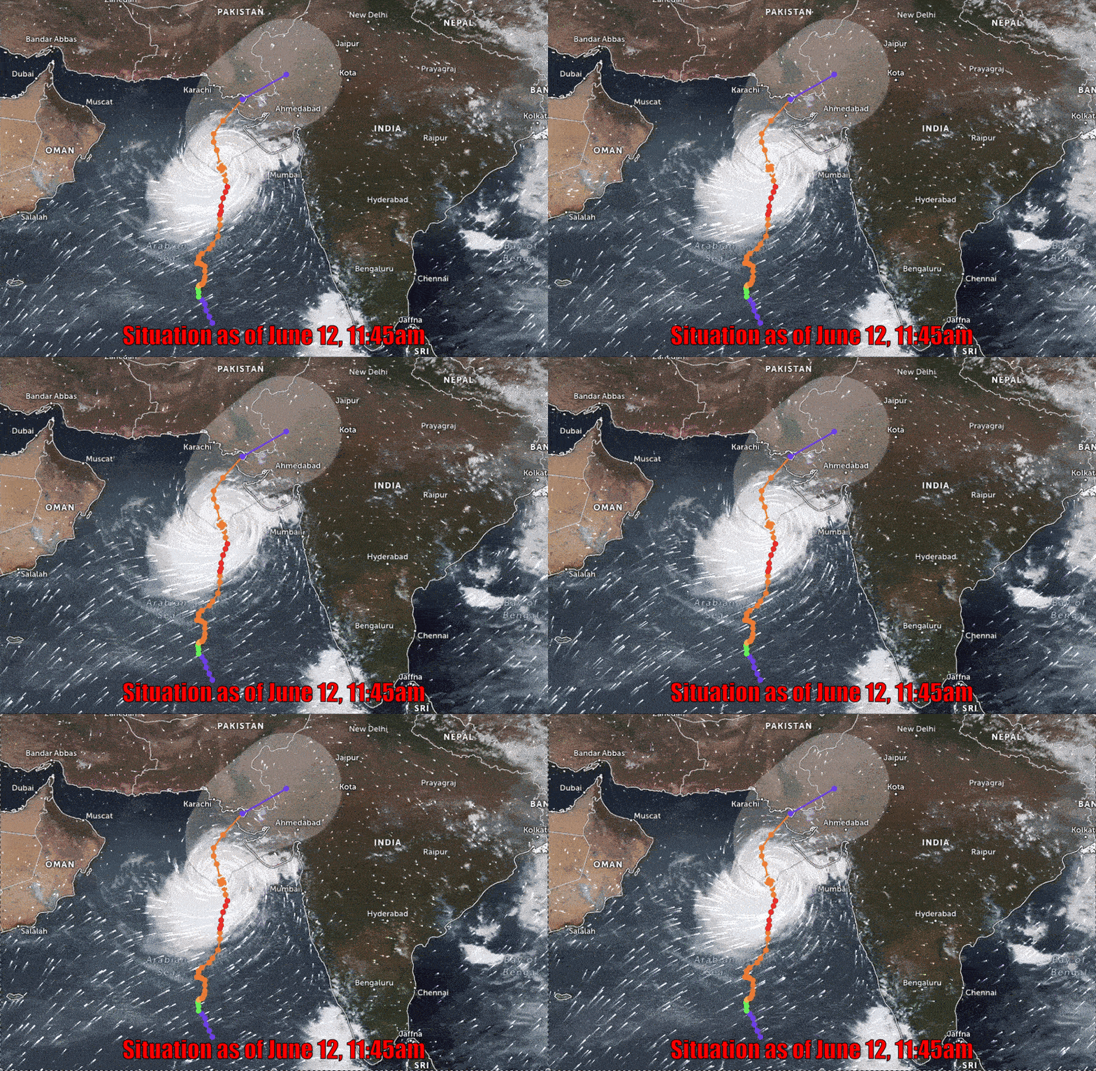
Cyclone Biparjoy has moved closer to the Pakistani coast at the Arabian Sea, and is currently recorded at 181 kilometers from the Keti Bandar port in Thatta district of Sindh, 247km from Karachi and 267km from Thatta.
According to the National Disaster Management Authority, the ‘Very Severe Cyclonic Storm’ over northeast Arabian Sea has moved north northeastward during the last six hours and now lies at about 247km south of Karachi, 267km south Thatta and 181km south-southwest of Keti Bandar.
The cyclone is likely to the coast of Indian Gujarat near Keti Bandar today, as per the Met Department forecast.
The maximum sustained surface winds are 120-140km/hour around the system center, and sea conditions being phenomenal around the system center with maximum wave height 30 feet.
Under the existing upper-level steering winds, the storm is likely tracking northeastward between Keti Bandar and Indian Gujarat coast on June 15 midday as a Very Severe Cyclonic Storm with packing winds of 100-120km/hour.
The potential impacts of the cyclone are strong winds, rain and flooding. All the institutions concerned are on high alert.
In case of any kind of emergency, citizens are advised to contact the relevant administration and follow their instructions, the NDMA stated.
The sea surface temperature of 29 to 30 degrees Celsius is proving to be favorable for the storm, the Met Department said, adding high waves, strong winds and high temperatures are playing a positive role in strengthening the storm.
Today and tomorrow, winds will blow at a speed of 60-80km per hour in Karachi. Today, eight to 12 feet high waves will rise on the Keti Bandar and Karachi coast.
There is a risk of submergence of the villages of Keti Bandar due to the storm.
Fishermen have been advised not to go out in the sea till June 17.
On Wednesday, Climate Change Minister Sherry Rehman had said that Biparjoy is predicted to make a landfall around 11am on Thursday, which was earlier forecast in the evening of June 15 due to the evolving nature of the cyclone.
